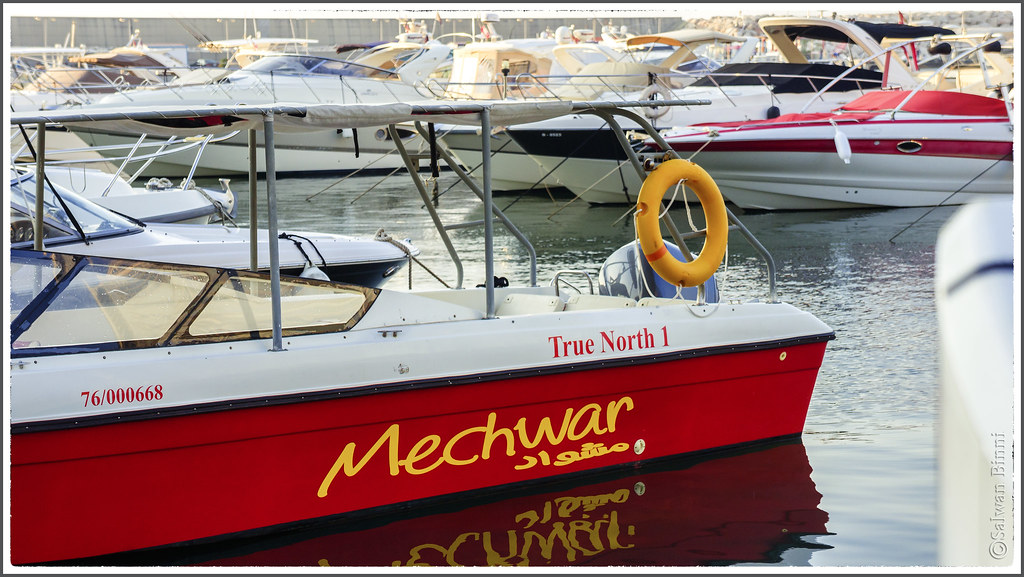
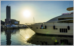
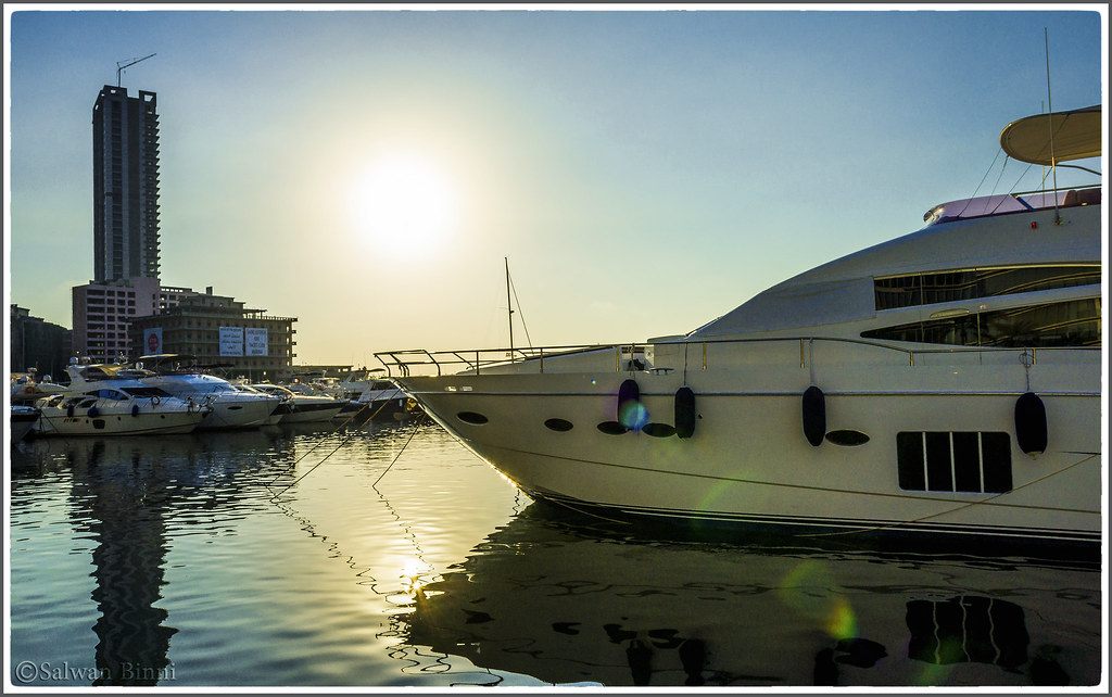
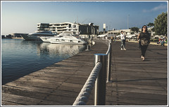
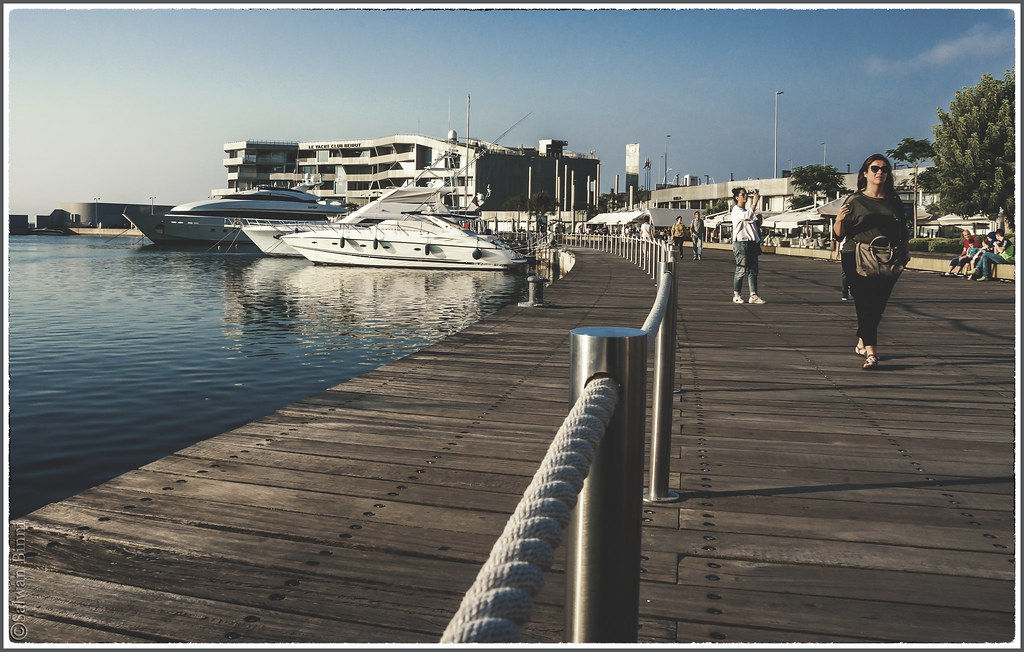
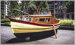
Salwan Binni posted a photo:
SONY DSC

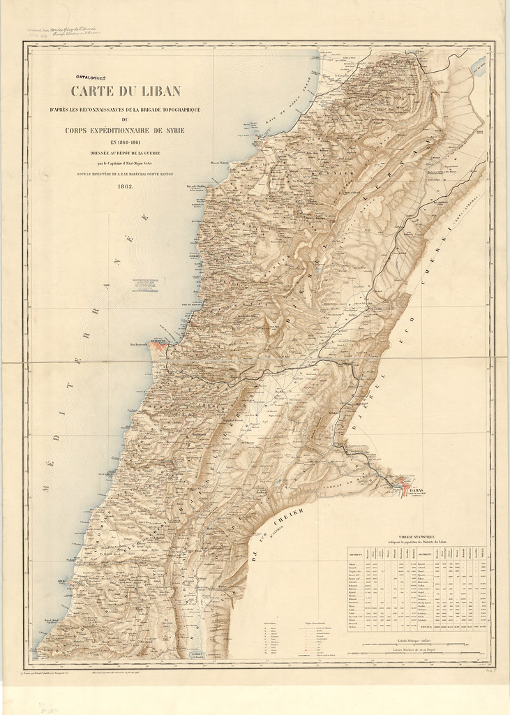
BioKnowlogy posted a photo:
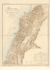
Full title: Carte du Liban d’apres les reconnaissances de la brigade topographique du corps expeditionnaire de Syria en 1860-1861.
Map of Lebanon According to Reconnaissance Information Collected by the Topographical Group from the Syria Expedition of 1860-1861
This map of Lebanon showing part of Syria with Damascus was made by French military cartographers in 1862. It is based on information gathered by the topographic unit in the expeditionary corps sent by France to Lebanon in 1860‒61. Lebanon was at that time part of the Ottoman Empire and the central region known as Mount Lebanon was mainly populated by Christians and Druzes. A Maronite peasant uprising in 1858 led to fighting between the two groups, which culminated in the massacre in 1860 by the Druze of about 10,000 Maronite Catholics as well as Greek Catholics and Greek Orthodox. France, exercising its traditional role as the European protector of the Christians of the Middle East, sent a force of 6,000 soldiers to Lebanon, which landed in Beirut on August 16, 1860. The troops remained in the country until June 1861 and succeeded in restoring order. The map shows district borders, cities and towns, railroads, mosques, Christian convents or monasteries, and rivers and other geographic features. Relief is shown by hachures. Heights are indicated in meters. The map has two distance scales: kilometers and nautical miles. The table in the lower right lists all of the districts of Lebanon, with their populations broken down by the seven religions represented in the region: Maronites, “schismatic Greeks” (i.e., Orthodox who recognized the authority of the Greek patriarch of Constantinople), Greek Catholics, Druze, Métoualis (an old term for Lebanese Shiites), Muslims (Sunnis), and Jews. Maronites were the largest group, accounting for 208,180 of the total population of 487,600.
Source: collections.lib.uwm.edu/digital/iiif/agdm/284/full/full/0…
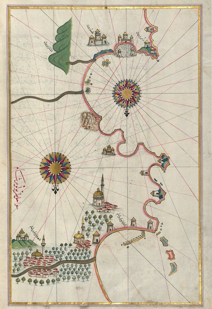
BioKnowlogy posted a photo:
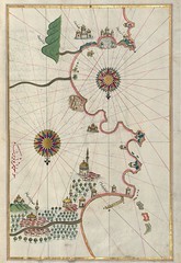
Author’s name given as Raʾīs al-Baḥr Pīrī ibn Muḥammad
Source:
www.davidrumsey.com/luna/servlet/detail/RUMSEY~8~1~300519…
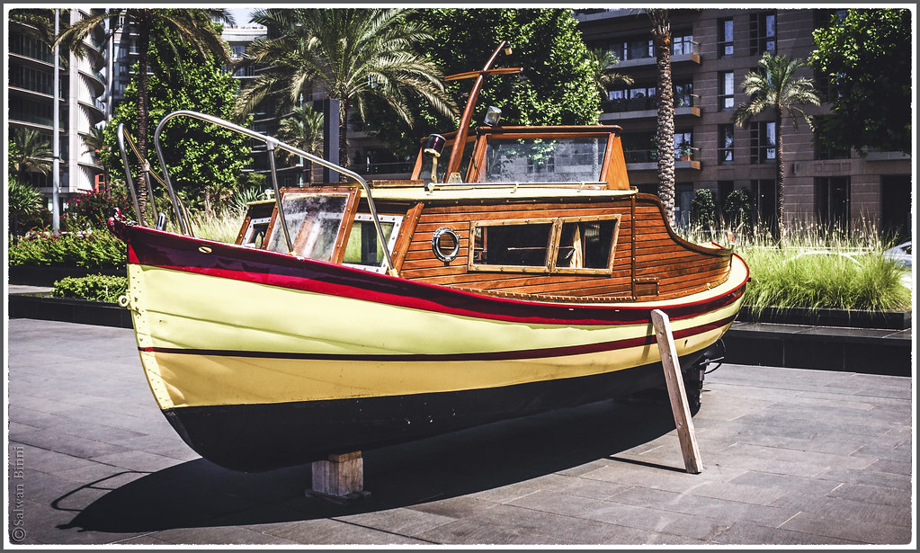
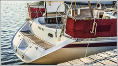
Salwan Binni posted a photo:
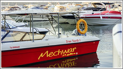
The same boat as the previous shot but with "true" colours…I mean this is how it looked like to my eyes…

